
Archivu:Localización de Extremadura.svg

Tamaño de esta previsualización PNG del archivo SVG: 686 × 518 píxeles. Otras resoluciones: 318 × 240 píxeles | 636 × 480 píxeles | 1017 × 768 píxeles | 1280 × 967 píxeles | 2560 × 1933 píxeles.
Resolución máisima (archivu SVG, 686 × 518 pixelis, grandol: 501 kB)
Síntesis
| Descrición |
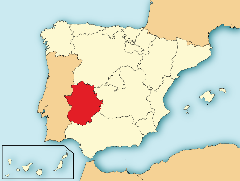
English: Map of Spain with Extremadura highlighted. Español: Localización de Extremadura respecto a España. |
| Fecha | |
| Coigu huenti | File:EspañaLoc.svg, de HansenBCN. Modificada por User:Mutxamel. |
| Autol | Mutxamel, subido por Rastrojo (D•ES) |
| SVG desarrollo | El código fuente de esta imagen SVG es válido. Este mapa fue creado con Adobe Illustrator |

Licéncia:
Yo, titular de los derechos de autor de esta obra, la publico en los términos de las siguientes licencias:

|
Se autoriza la copia, distribución y modificación de este documento bajo los términos de la licencia de documentación libre GNU, versión 1.2 o cualquier otra que posteriormente publique la Fundación para el Software Libre; sin secciones invariables, textos de portada, ni textos de contraportada. Se incluye una copia de la dicha licencia en la sección titulada Licencia de Documentación Libre GNU. |
This file is licensed under the Creative Commons Attribution-Share Alike 4.0 International, 3.0 Unported, 2.5 Generic, 2.0 Generic and 1.0 Generic license.
- Eris libri:
- de compartir – de copiar, distribuir y transmitir el trabajo
- de remezclar – de adaptar el trabajo
- Bajo las siguientes condiciones:
- atribución – Debes otorgar el crédito correspondiente, proporcionar un enlace a la licencia e indicar si realizaste algún cambio. Puedes hacerlo de cualquier manera razonable pero no de manera que sugiera que el licenciante te respalda a ti o al uso que hagas del trabajo.
- compartir igual – En caso de mezclar, transformar o modificar este trabajo, deberás distribuir el trabajo resultante bajo la misma licencia o una compatible como el original.
Puedes usar la licencia que prefieras.
Estorial el archivu
Pursa nuna fecha/ora pa vel cumu era el archivu nesi momentu.
| Fecha/Ora | Cuairu | Miias | Usuáriu | Comentáriu | |
|---|---|---|---|---|---|
| atual | 19:35 4 Ago 2010 | | 686 × 518 (501 kB) | Orionist | removed border and artifacts, various other fixes |
| 10:48 6 Húl 2009 |  | 690 × 522 (561 kB) | Rastrojo | nueva versión | |
| 18:43 2 Abr 2008 |  | 578 × 374 (407 kB) | Paintman | Color verde y por comunidades autónomas. | |
| 19:50 7 Ene 2008 |  | 578 × 374 (608 kB) | Rastrojo | {{Information |Description= Localización de Extremadura respecto a España |Source= Image:Provincias de España centrado.svg |Date= |Author= Rastrojo |Permission= |other_versions= }} [[Category:Maps of Sp |
Atihus
Los siguientis 5 artículus atihan a esti archivu:
Uso global del archivo
Las siguientis güiquis gastan esti archivuː
- Uso en af.wikipedia.org
- Uso en als.wikipedia.org
- Uso en an.wikipedia.org
- Uso en ar.wikipedia.org
- Uso en arz.wikipedia.org
- Uso en ast.wikipedia.org
- Uso en ast.wiktionary.org
- Uso en ay.wikipedia.org
- Uso en az.wikipedia.org
- Uso en be-tarask.wikipedia.org
- Uso en bg.wikipedia.org
- Uso en br.wikipedia.org
- Uso en bs.wikipedia.org
- Uso en ca.wikipedia.org
- Uso en crh.wikipedia.org
- Uso en cs.wikipedia.org
- Uso en da.wikipedia.org
- Uso en de.wikipedia.org
- Uso en diq.wikipedia.org
- Uso en el.wikipedia.org
- Uso en en.wikipedia.org
- Uso en eo.wikipedia.org
- Uso en es.wikipedia.org
- Uso en es.wikinews.org
- Uso en eu.wikipedia.org
- Uso en fa.wikipedia.org
- Uso en fr.wikipedia.org
Ver más uso global de este archivo.